Cheap Thermal Camera for Drone: Budget Buyer Guide 2026
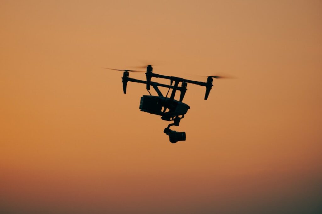
A cheap thermal camera for drone use in 2026 generally means one of two things: a budget consumer UAV with an integrated low-resolution thermal sensor, or an aftermarket thermal payload bolted onto a lift-capable platform. Neither path is genuinely inexpensive once regulatory, training, and image-quality realities are factored in. This guide explains the actual budget landscape, the platforms worth considering, the platforms to avoid, and the operating constraints that apply to commercial aerial thermography. It is aimed at home inspectors, roofers, and small contractors considering their first thermal drone investment.
The Real Budget Floor for Drone Thermal
The genuine budget floor for a usable drone thermal setup sits around $2,800-4,500 all-in. Anything below that price either ships with an unusable sub-160-resolution thermal sensor or relies on aftermarket payload integrations that void platform warranties. Buyers chasing $800 toy-drone thermal kits should expect novelty-grade footage with no commercial utility. The honest budget tier for entry-level commercial work starts mid-three-figures and climbs from there.
Autel EVO Lite+ With Aftermarket Thermal
The Autel EVO Lite+ is a sub-$1,500 base platform that some operators pair with a stripped-down FLIR Boson or InfiRay Mini2 module through third-party mounting kits. The result is a roughly $2,500-3,000 total cost setup with 256×192 thermal resolution. The downside is the lack of factory integration: the thermal feed is recorded separately from the visible camera, video sync is manual, and warranty coverage on the platform is voided by the modification. This path suits experimental operators, not commercial professionals.
DJI Mavic 3 Pro – Not Mavic 3T
The DJI Mavic 3 Pro is the consumer-grade flagship and lacks any thermal sensor. The DJI Mavic 3T is the thermal enterprise variant – not a budget option at roughly $5,200-6,000. Buyers should not confuse the two model numbers. The Mavic 3 Pro is the right base platform for operators who want a high-quality consumer drone and are willing to do thermal work separately on the ground with a handheld imager. It is not the right answer for an integrated aerial thermography workflow.
DJI Mavic 3 Enterprise Series
The DJI Mavic 3E (enterprise) at $3,400 and Mavic 3T (thermal) at $5,200-6,000 are the practical entry points for serious aerial thermography. The 3T integrates a 640×512 visible sensor with a 640×512 thermal sensor and ships with the same controller and ground software as the 3E. Operators committed to professional roof and solar PV inspection work generally land here despite the price. The integrated factory workflow is worth the premium over aftermarket bolted setups.
Aftermarket Payload Integration Warnings
Operators tempted by aftermarket thermal-camera-to-drone integrations should know the realities. Most consumer platforms – DJI Mini series, Mavic Air series – lack the payload capacity to carry a thermal module without serious flight-time and stability penalties. Aftermarket mounts that clamp onto platforms not designed for them void warranties, can detach in flight, and may exceed manufacturer maximum takeoff weight ratings. OSHA aerial-operation guidance treats unrated payload modifications as a safety issue.
Thermal Resolution at the Budget End
The thermal sensor in entry drone setups runs 160×120 to 256×192. The Mavic 3T jumps to 640×512. The lower resolutions cap how much usable detail can be extracted from a typical 50-150 foot altitude. At 100 feet, a 160×120 sensor with a standard lens resolves a pixel patch roughly 4-6 inches across, which is fine for spotting large roof moisture pools but marginal for individual solar panel cell diagnostics. Buyers should match resolution to the application.
Commercial Operations and Operator Certification
Commercial drone thermography in the United States requires a remote pilot certificate issued under Part 107 rules. The certification covers airspace classes, weather minimums, and operational limits. OSHA aerial-operation standards add workplace-safety requirements when drones operate near workers or over occupied structures. Operators flying for hire without certification expose themselves to civil penalties and insurance void issues. Training programs from InterNACHI cover the aerial thermography skill set on top of the basic pilot certificate.
Aerial Thermography Use Cases
The applications that justify the investment include commercial flat-roof moisture surveys, residential roof leak hunting on steep or otherwise inaccessible roofs, solar PV array fault diagnosis, large-acreage agricultural monitoring, and search-and-rescue support. None of these can be performed safely or efficiently from the ground; the drone earns its keep by providing aerial perspective and rapid area coverage. The home inspection tools overview covers ground-based thermal options.
Flight Time and Battery Constraints
Thermal-equipped drones typically deliver 25-35 minutes of usable flight time per battery. Cold weather drops the figure by 20-30 percent. A typical commercial roof survey of 30,000 square feet takes 2-3 battery cycles to capture overlapping coverage. Operators should budget for 3-5 batteries per platform plus a multi-bay charger. The thermal payload adds power draw that further reduces endurance compared to the same platform flying with only the visible camera.
Software and Reporting Workflow
The DJI Mavic 3T ships with DJI Thermal Analysis Tool for post-flight image processing. The software lets operators measure spot temperatures, draw analysis regions, and produce annotated deliverables. Third-party platforms like Pix4D and DroneDeploy add orthomosaic stitching and georeferenced thermal maps suitable for commercial deliverables. Operators working from aftermarket setups stitch this workflow together manually, which is slower and more error-prone.
Solar Loading and Time-of-Day
Roof moisture surveys produce the best results after sunset, once the roof has been releasing stored solar heat for 30-90 minutes. Dry insulation cools faster than wet insulation, creating a visible thermal contrast. Surveys flown during direct sunlight produce uneven thermal patterns dominated by solar artifacts rather than moisture defects. Operators planning commercial surveys should schedule night or post-sunset windows.
Cold Climate Considerations
Colorado Front Range operators face additional constraints. Sub-freezing temperatures shorten battery life, stiffen propeller materials, and can ice the gimbal mechanism. Most consumer-grade platforms list operating ranges from 14 to 104 Fahrenheit. Surveys in late winter and early spring need warm-up routines and shorter mission profiles. A cheapest drone with thermal camera guide covers the budget-vs-utility tradeoff in more depth.
Insurance and Liability
Commercial drone operators carry hull insurance on the platform and liability insurance covering third-party property damage and bodily injury. Annual premiums run $500-1,500 for a $5,000 platform with $1 million liability coverage. Carriers underwrite based on pilot certification, operating history, and platform value. Aftermarket modifications can void liability coverage if the modification contributed to the loss.
When to Skip the Drone
For one-off jobs – a single residential roof leak hunt or a one-time energy audit – hiring a credentialed aerial thermography provider costs $400-1,200 and delivers professional deliverables without the platform investment, training, and certification overhead. Ownership pencils out for inspectors and contractors running 30-plus aerial thermal jobs per year. Below that volume, contracting the service is cheaper and safer than DIY operation.
Mission Planning Software
Commercial aerial thermography uses mission-planning software to fly automated grid patterns over the target area. DJI Pilot 2, Pix4Dcapture, and DroneDeploy generate flight paths with specified altitude, overlap, and camera trigger intervals. The autonomous flight captures consistent imagery suitable for orthomosaic stitching. Manual flight produces inconsistent coverage and gaps that the post-processing software cannot fix. Mission planning is the difference between hobbyist drone use and commercial-grade aerial thermography.
Privacy and Airspace Considerations
Drone operations near occupied dwellings, public roads, and over private property each carry their own legal and ethical considerations. Some states require operator notification to property owners before overflight. Local ordinances in some Front Range cities restrict drone takeoff and landing locations. Operators planning commercial flights should review state and municipal regulations beyond federal airspace rules before quoting jobs. The best drones with thermal camera guide covers platform selection in depth.
Wind and Weather Operating Limits
Consumer-grade drones list maximum operating wind speeds around 22-26 mph. In practice, wind speeds above 12-15 mph degrade image stability noticeably. Aerial thermography surveys require calm conditions for sharp imagery and accurate temperature readings. Operators planning roof or solar surveys should monitor wind forecasts and schedule flexible appointment windows. Front Range operators face frequent gusty afternoon conditions that often force morning-only flight windows.
Storage, Transport, and Field Setup
A thermal drone setup includes the aircraft, controller, multiple batteries, ND filters, calibration card, mission-planning tablet, and weather station. The full kit transports in a 50-70 liter case weighing 25-40 pounds. Field setup runs 10-15 minutes including pre-flight checks, mission upload, and equipment verification. Operators planning multi-stop days should batch sites geographically to minimize transit time relative to mission time.
Solar PV Inspection Specifics
Solar PV inspection demands specific flight protocols. Surveys are conducted during peak solar irradiance – typically 11 am to 2 pm – to maximize cell heating contrast. Flight altitude of 50-100 feet above the array provides adequate resolution at the cell level. Coverage requires 70-80 percent overlap between adjacent flight lines for post-processing stitching. A 100-kilowatt commercial array takes 30-60 minutes of flight time across 2-3 battery cycles to inspect thoroughly.
Roof Survey Specifics
Roof moisture surveys demand the opposite protocol from solar inspections. Surveys are conducted 30-90 minutes after sunset to maximize the differential cooling between wet and dry insulation zones. Flight altitude of 30-60 feet provides 1-2 inch ground sample distance, sufficient for resolving typical moisture pool sizes. Coverage requires 60-70 percent overlap. A 30,000 square foot commercial roof typically takes 20-40 minutes of flight time.
Insurance Documentation Standards
Aerial thermography deliverables for insurance use must meet specific documentation standards. Image timestamps, GPS coordinates, altitude, weather conditions, and operator credentials should appear in the report. The orthomosaic stitched output should be georeferenced to commercial mapping accuracy. Insurance carriers reject deliverables lacking this metadata. Operators planning insurance-focused work should standardize their report format around carrier expectations from the first job.
Common Aftermarket Integration Mistakes
Three common mistakes plague aftermarket thermal-drone integration. First, overloading payload capacity beyond manufacturer specifications causes flight instability and crash risk. Second, mounting cameras outside the gimbal-stabilization envelope produces shaky footage that fails post-processing stitching. Third, powering the camera from the drone’s auxiliary battery output drains main flight time and reduces mission endurance. Operators should research specific platform-payload combinations rather than assuming generic compatibility.
Pilot Skill Development Path
Commercial aerial thermography requires both pilot skill and thermography skill. New entrants should expect 50-100 flight hours of practice before flying commercial missions confidently. Pilot certification covers regulatory knowledge but not actual flight proficiency. Most operators supplement self-practice with structured training programs offered by commercial UAV instructors. The combined investment in flight time and thermography training runs $2,000-5,000 before the first paid mission.
Total Cost of Ownership for Aerial Thermography
The sticker price of a thermal drone is only part of the total cost. Add controller and tablet at $300-700, multiple batteries at $200-400 each times 3-5 units, charging hub at $200-400, hard transport case at $300-600, mission planning software subscription at $300-800 per year, post-processing software at $500-2,000 per year, annual insurance at $500-1,500, and pilot certification at $200-300. Total all-in cost for a Mavic 3T setup runs $8,500-12,000 in year one and $3,500-5,000 in subsequent operating years.
Pricing Aerial Thermography Services
Commercial aerial thermography services bill at varied rates depending on application. Residential roof leak surveys run $400-700 per property. Commercial flat-roof moisture surveys run $0.05-0.12 per square foot. Solar PV inspection runs $300-600 per residential array and $0.02-0.05 per panel for commercial farms. Search-and-rescue and agricultural monitoring follow custom pricing per project. Operators establishing rates should research local-market pricing rather than assuming national averages apply.
References
- Aerial lift and operation safety standards — OSHA
- Infrared thermography certification — InterNACHI
- Aerial thermography fundamentals — InterNACHI
- Construction-site aerial work safety — OSHA
Thermal imaging cameras
Infrared cameras reveal hidden moisture, missing insulation, and air leaks. Phone-attachment models are the budget entry point; standalone units have higher resolution.
| Product | Why | Buy |
|---|---|---|
 FLIR ONE Pro (phone) FLIR ONE Pro (phone) | Plugs into iPhone/Android; inspector favorite. | Amazon — $349.00 |
 Topdon TC001 Topdon TC001 | High-res phone module at a low price. | Amazon — $199.99 |
 FLIR C5 Compact FLIR C5 Compact | Standalone pocket camera with Wi-Fi. | Amazon — $449.00 |