Where Is Radon Most Common: A Plain-Language Guide
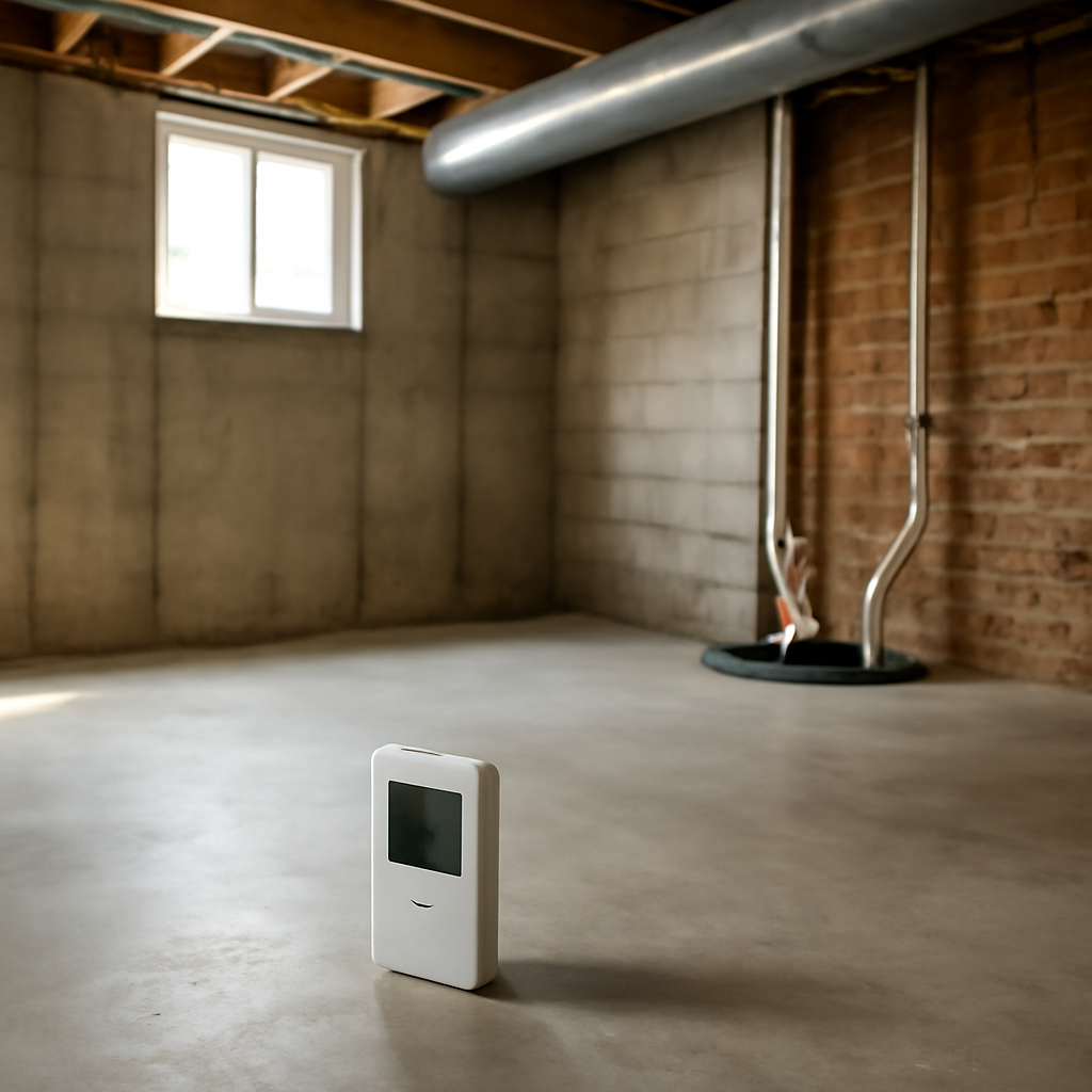
Radon is an invisible, odorless radioactive gas that seeps from soil into homes, and it is the second-leading cause of lung cancer in the United States. A natural question is where radon is most common — which regions, soils, and home types carry the highest risk. The honest answer is that radon appears everywhere, but some areas run far higher than others. This guide summarizes EPA and Colorado state health guidance current as of 2026 and is informational only; consult a physician about health concerns and a certified professional for testing decisions.
Where is radon most common in the United States?
Radon is most common in regions with uranium-rich bedrock and soils, because radon forms from the natural decay of uranium underground. The EPA maps the country into zones by predicted indoor radon potential, and the highest-risk areas concentrate across the Upper Midwest, the northern Great Plains, the Appalachian region, and the Mountain West — including Colorado and the Front Range.
That geology matters, but it does not guarantee an individual home’s level. Two houses on the same street can test very differently depending on construction and soil contact. The EPA’s central message is that elevated radon has been found in every state, so location hints at risk but never replaces testing. The fuller picture for local homeowners runs through our guide to radon testing in Colorado.
The geology behind radon hot spots
Radon’s distribution follows the rock and soil beneath homes. Uranium and radium in granite, shale, and certain sedimentary deposits decay into radon gas, which migrates upward through soil pores and fractures.
High-uranium bedrock
Areas over granite and uranium-bearing formations — common in the Mountain West and parts of the Northeast — tend toward higher radon. Colorado’s geology, with its mineral-rich mountains and foothills, places much of the state in elevated zones. The same uplift that created the Rockies brought uranium-bearing rock closer to the surface across the Front Range, and the soils derived from that rock carry the radon-producing minerals into the ground beneath homes. This is the geological reason Colorado consistently ranks among the higher-radon states rather than a matter of climate or building style alone.
Soil permeability
Loose, permeable soils let radon travel more easily than dense clay. Gravelly or fractured soils can channel gas straight to a foundation.
Glacial deposits
Parts of the Upper Midwest sit on glacial sediments that concentrate radon-producing minerals, which is why states like Iowa, Minnesota, and the Dakotas report high average levels.
Why Colorado and the Front Range rank high
Colorado sits squarely in the elevated-radon category. The state’s mountainous, mineral-rich geology produces uranium-bearing soils across much of the Front Range, and the Colorado Department of Public Health and Environment reports that a large share of homes tested statewide come back above the EPA action level.
Front Range counties — Denver, Jefferson, Boulder, Douglas, El Paso, and neighbors — frequently see elevated readings. The state’s dry climate and common basement construction add to indoor accumulation. For local context on the area’s risk profile, our overview of radon testing in Denver walks through what metro homeowners typically find.
Does region determine your home’s radon level?
No — and this is the most misunderstood point. A high-risk region raises the probability, but the actual level in a specific home depends on its foundation type, the soil directly beneath it, cracks and openings, and how the home is ventilated and heated.
Homes in low-risk zones still test high sometimes, and homes in high-risk zones occasionally test low. The EPA is unambiguous: the only way to know a home’s radon level is to test it. Regional maps guide priorities; they do not substitute for a measurement. Homeowners can read how the maps work in our explainer on the radon gas map and what it shows.
Home features that raise radon risk
Beyond geology, certain home characteristics increase indoor radon regardless of region. Basements and slab-on-grade foundations sit in direct contact with soil gas. Cracks in the foundation, gaps around pipes, and sump pits provide entry paths. Tightly sealed, energy-efficient homes can trap radon that would otherwise dilute.
The stack effect — warm air rising and escaping upper floors — draws soil gas in through the foundation, especially in winter when homes are sealed and heated. This is why Front Range homes can show higher winter readings. The taller the home and the greater the indoor-outdoor temperature difference, the stronger this effect becomes. A two-story Front Range house heated through a cold January draws soil gas more aggressively than the same house in mild weather, which is one reason a single summer test may understate a home’s typical winter exposure.
High-radon regions in more detail
The pattern of elevated radon across the country follows recognizable geology. The Upper Midwest and northern Great Plains — Iowa, Minnesota, the Dakotas, Nebraska — rank among the highest, owing to glacial deposits rich in radon-producing minerals. The Appalachian region, with its uranium-bearing rock, also runs high through states like Pennsylvania.
The Mountain West, including Colorado, Montana, and parts of the surrounding states, sits in elevated territory because of mineral-rich mountain geology. Within Colorado, the Front Range corridor from north of Fort Collins down through Denver to Colorado Springs holds substantial elevated-radon areas. Even within a single high-radon state, levels vary by county and by individual property, which is why state and county maps are starting points rather than verdicts. Lower-radon regions exist too — some coastal and southern areas average lower — but no region is uniformly safe, and elevated homes turn up everywhere.
Which areas of a home have the most radon?
Radon is highest in the lowest occupied level, where the home meets the soil. Basements typically read higher than upper floors, and a finished basement used as living space deserves particular attention. Crawlspaces with exposed soil can also be significant sources.
Because levels drop with height, a second-floor bedroom usually reads lower than a basement office. Testing should focus on the lowest level people regularly occupy.
How the EPA radon zones work
The EPA divides U.S. counties into three zones based on predicted average indoor radon. Zone 1 counties have the highest predicted potential, Zone 2 moderate, and Zone 3 the lowest. Much of Colorado, including Front Range counties, falls into the highest-potential zone.
These zones are planning tools, built from geology, indoor measurements, soil data, and other factors. They help prioritize testing and target outreach, but they describe averages across a county — not the level in any specific home. A Zone 1 county will contain plenty of low-radon homes, and a Zone 3 county will contain some high ones. The map answers “how likely” not “how much.” Treating the zones as a reason to test, rather than a substitute for testing, is the correct use. Homeowners can see how these maps look in practice in our overview of the radon gas map.
Seasonal and weather patterns
Radon is not only unevenly distributed geographically; it varies over time in the same home. Levels typically run higher in winter, when homes are sealed against the cold and heating drives the stack effect that pulls soil gas indoors. Summer levels can be lower as homes ventilate more.
Weather plays a role too. Falling barometric pressure, snow cover that caps the soil, and frozen ground can all push radon into a home. This is part of why a short-term winter test and a short-term summer test in the same house can differ, and why long-term testing gives the truest annual picture. For the cold Front Range, winter readings often represent a home’s higher-exposure conditions, which is useful to know when interpreting results.
What to do regardless of where you live
The takeaway from radon’s geography is simple: test, no matter the zone. The EPA recommends testing every home and retesting periodically, after major renovations, and before buying or selling. Short-term test kits are inexpensive and widely available; long-term tests give a more representative annual picture.
If a test comes back at or above 4.0 picocuries per liter — the EPA action level — mitigation is recommended. Mitigation systems are well established and effective, and the geography of risk does not change the fix. Front Range homeowners, given the state’s elevated profile, have strong reason to test sooner rather than later.
New construction and radon-resistant features
Geography also shapes how new homes are built. In high-radon areas, many builders now install radon-resistant new construction features: a gravel layer and plastic sheeting beneath the slab, sealed openings, and a vent pipe routed from below the foundation up through the roof. These passive systems make later mitigation easier and sometimes lower radon on their own.
A passive system can be activated by adding an inline fan if testing shows it is needed. Buyers of newer Front Range homes should ask whether radon-resistant features were installed and whether the home has been tested since construction. A rough-in vent pipe in the basement is a clue the builder planned for radon, but it does not replace an actual test of the finished, occupied home.
Why testing beats relying on the neighbors
A common shortcut is assuming a home is fine because a neighbor tested low, or assuming it is dangerous because a neighbor tested high. Both assumptions mislead. Soil composition, foundation construction, cracks, and ventilation differ enough between adjacent homes to produce very different readings.
The geography of radon explains the regional pattern, but only a test of the specific home reveals that home’s level. This is the consistent message from the EPA, the Colorado health department, and the American Lung Association alike. Maps and neighborhood anecdotes set expectations; a measurement settles the question. For homes across the elevated Front Range, that measurement is inexpensive insurance against a serious, invisible risk.
References
- Radon Zones and Local Risk Information — U.S. Environmental Protection Agency
- Radon in Colorado — Colorado Department of Public Health and Environment
- Radon and Lung Health — American Lung Association
Front Range homeowners who want help interpreting a radon result or arranging a test before a purchase can connect with a vetted local inspector through our contact page. Given Colorado’s elevated radon zones, testing early is a smart move.